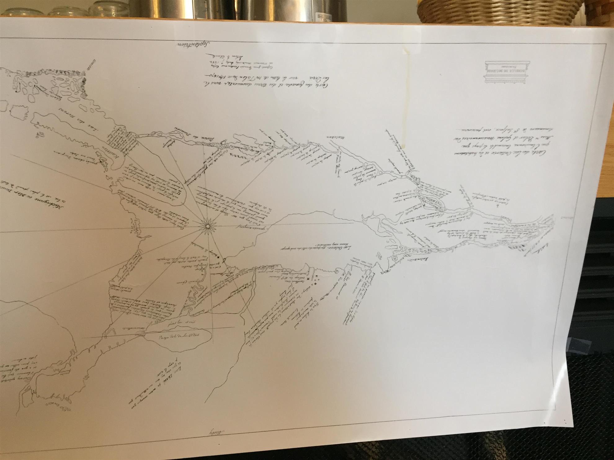
Why is the writing on this map of Ontario / Port Dover upside down?
Well, John Ayre articulately explained to us from his recent book that in 1669 modern survey equipment has not yet been invented. A Jacob's staff was used, looking south at the sun, to measure the angle of latitude. Thus it follows that the point of latitude or what else you have seen would be written on the map laid out in front of you looking south!
The map's lakes and land masses are misproportioned from what we know today because accurate clocks and tables of latitude don't exist, so its not possible to plot accurate distances east and west. But, nevertheless amazingly accurate for 1669 - French River cross the top, Lake Huron on the left, Windsor lower left corner and moving to the right (eastward) Long Point shaped like a club with Port Dover/Black Creek "The Wintering Place" above it!
Our speaker John Ayre, retired after practicing law for 32 years and being best known to us for his tenure as Crown Attorney of Norfolk County, has always had passion and panache for detailing the history of (cont'd)
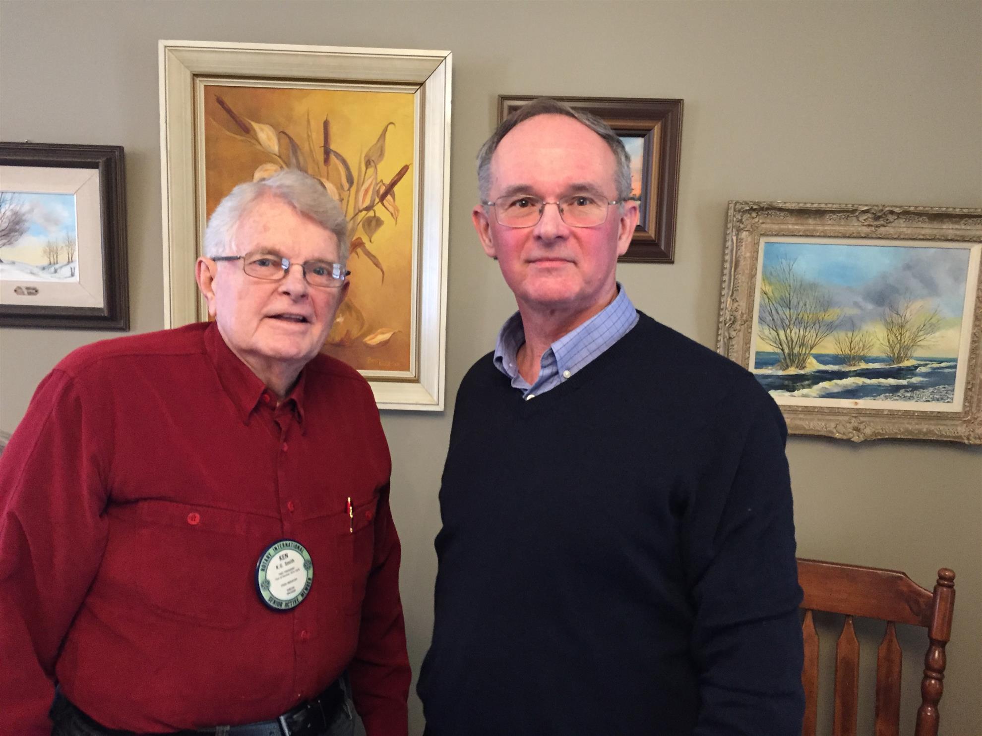
John Ayre on right with Rotarian Ken Smith
Norfolk County and published several books. More so he develops the character traits, struggles and/or amazing accomplishments of the residents or in this case early visitors to our area.
Dollier de Casson and Galinee both being priests and seven French soldiers set out in 1669 to explore the waters and shores of Lake Erie. In the 1660's the fur trading route Montreal along the French River to Sault Ste. Marie was already well traveled with church missions built along the way. However, the Iroquois trading nation still locked out the French access to Lake Erie. A more relaxed period in 1669 opened a window of opportunity to explore the area.
John compared their voyage to an Apollo space mission to the moon - except that there are no computers or support teams in Houston. Montreal is 90-120 days away. The voyagers must take great care. For example - if a canoe is holed and the evergreen sap used for repairs is not running they can't order a repair kit and have it delivered creekside the next day.
Dollier de Casson, Galinee and the seven soldiers wintered on Black Creek (National Historic site on Donjon Blvd., Port Dover - a few houses north of the boat yard) - translated from the archived map - at "The Wintering Place" over the winter of 1669-70. A copy of the 48 page report from 1670, that John received from France, showed that they stayed for 5 months and 11 days. Game was plentiful but one had to keep the gunpowder dry and be skilled woodsmen to survive. Wild grapes were plentiful on the creek banks. Wine was made for the sacraments and consumption. The Vitamin C content staved off any risk of scurvy.
An exciting story, John's book and expanded tale is available on Amazon.com !